Authors
- Johnson, J.
Year
2023Publisher/Journal
Nevada Natural Heritage ProgramThumbnails
PDF Documents
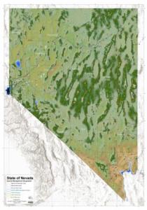
Wall Map Elevation v10Notes
Notes: This wall map includes the following data: combined hillshade/elevation color ramp, state highways, major lakes, rivers, and creeks, cities and towns, counties, and selected special management areas. It can be printed at 300 dpi up to 42 by 60 inches. CC BY-NC-ND License. This map can be printed for personal use and shared but it cannot be sold or altered. Keywords: Hillshade, elevation model, map
Program Area
- General
- Maps and GIS Tools
