NDNH uses a variety of standardized protocols to survey wetlands in Nevada to address different project objectives. These protocols are suitable for other wetland surveyors in the state that have some experience identifying wetland plants, recognizing hydric soils, and/or taking basic hydrology measurements. Portions of the protocol or even a photo and GPS coordinate of wetlands are also helpful! If you have wetland data to share or need access to some of NDNH’s wetland data, please contact us.
WetBar - WetBar is a browser wetland analysis toolbar that allows users to quickly evaluate condition and trends for free, with no GIS experience required. WetBar integrates 40 years of satellite imagery with web-based data (such as drought, precipitation, and temperature records) to create helpful images, charts, and graphs of your wetland of interest. For an introduction to using the tool and metadata, check out the WetBar user guide and documentation. WetBar was developed by Dr. Ken McGwire at the Desert Research Institute.
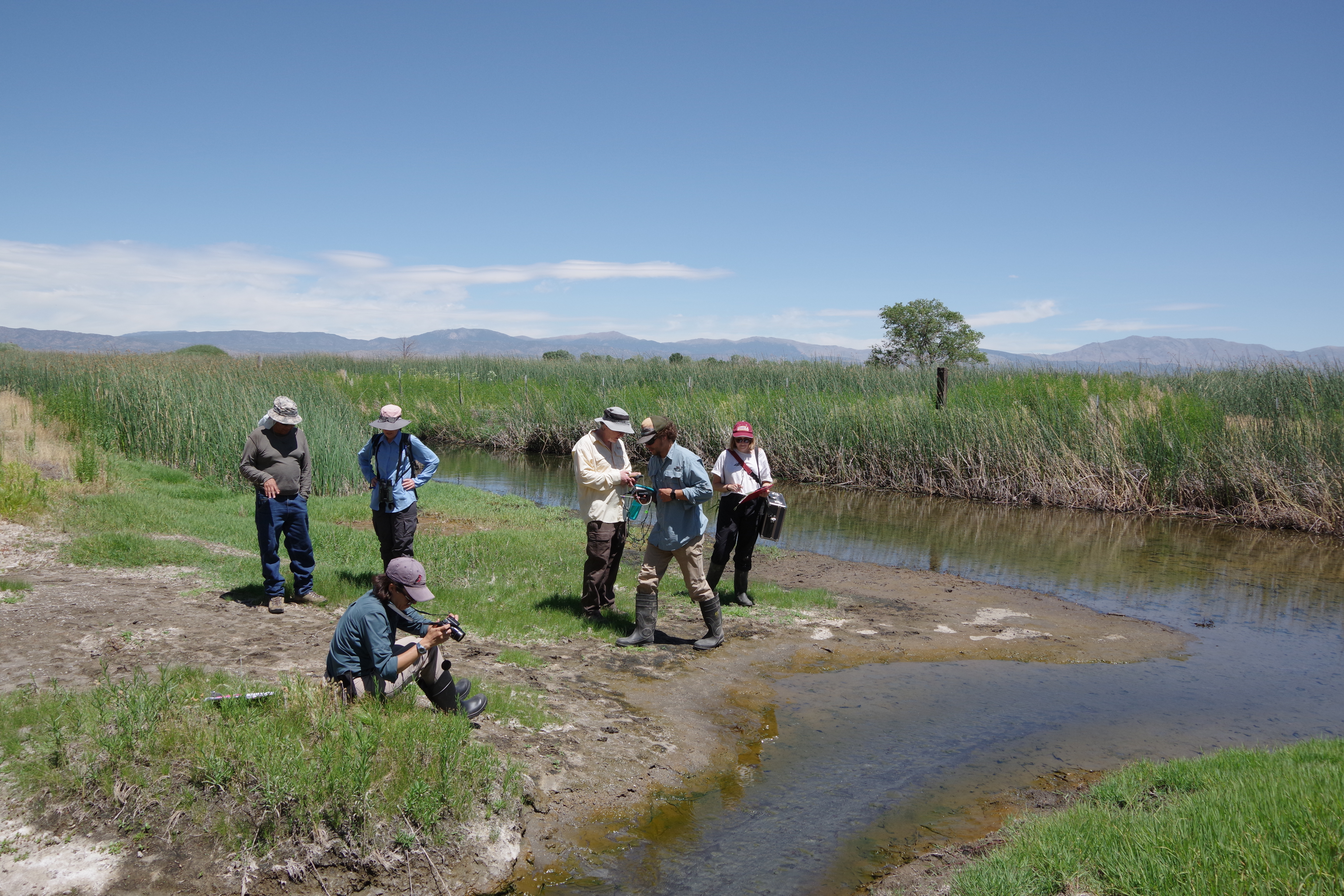
NVRAM - The Nevada Rapid Assessment Method is a standardized level 2 protocol for surveying marshes, riparian areas, and other large wetlands. Surveys take a team of two experienced wetland surveyors about two hours to collect data on hydrology, soils, plants, and other site characteristics. NVRAM field sheets and the protocol guide can be found here. A Survey123 form is available for data collection by request of the Wetland Program Specialist.
GDE - The Groundwater Dependent Ecosystems field survey protocol is a standard Forest Service protocol for groundwater-fed wetlands. Level 1 (rapid assessment) and level 2 (more comprehensive assessment) protocols are available, depending on project objectives. The NDNH wetland program uses the GDE protocol for springs, fens, and other small GDEs.
Wetland Survey Databases
It is essential to not just collect data on wetlands but also to store it in a secure and accessible manner. SpringsOnline and Biotics are two databases we use at NDNH to maintain wetland information for ourselves and other users.
Biotics - Biotics is a spatial database for biodiversity and ecosystem data managed by NatureServe and contributed to by the entire NatureServe network, which encompasses most US states, Mexico, and Canada. Biotics data on threatened or endangered species and rare ecosystems is used to assist with conservation planning. In Nevada, we use Biotics to store data on the distribution of rare wetlands (fens and vernal pools). To get access to Nevada’s Biotics data (wetlands or threatened/endangered species) please submit a data request.
SpringsOnline - This is a collaborative worldwide database of springs and spring-dependent species managed by the Springs Stewardship Institute. Springs researchers can contribute survey data or access existing data on thousands of Nevada springs.
